-Rain returns with a stalled out front tonight/Saturday.
-Huge temp spread tomorrow - 40s and 70s.
-Severe storms poss. in southern Indiana Saturday.
-70's and 80's likely next week/ active pattern!!
Here we go....
TONIGHT: After the front moved south last night, it's on it's way NORTH again tonight and tomorrow. Rain chances will arrive after 3am.
SATURDAY: As the front tries to move north, it will put the brakes on somewhere in central Indiana. Where is stalls is key to temperatures and rain chances. If I were to put a stab into it, I think the front stalls out across south-central Indiana. North of the front - cold and wet. South of the front - warm, humid, severe storm risk. Indianapolis looks to stay on the cold side, (50's) while areas south of Bloomington and Columbus make a run at 70+. As far as rain chances, it looks like the best chances of rain will be north of I-70 during the afternoon, with plenty of breaks in the rain across southern Indiana. Southern Indiana may see brief sunshine before severe storms develop. Here is the GFS:
SUNDAY: The front will still remain nearby, but it appears that rain chances will be much lower. Just more isolated showers for Sunday, with most areas in the lower 60's.
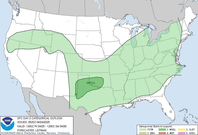
 SEVERE WEATHER? The SPC has highlighted extreme southern Indiana (south of Vincennes/Bedford/North Vernon) under a slight risk for severe weather tomorrow afternoon and evening. This WILL need to be monitored for any northward shifts in the risk. The best chance for some severe storms looks to be mid-afternoon-early evening.
WARM AND WET NEXT WEEK: The front that will plague the area this weekend will finally lift way north of us! This opens the door to very warm temperatures, and gulf moisture. Several disturbances will be moving through, bringing a daily chance of thunderstorms. This set-up can bring slow moving thunderstorms, that can cause copious amounts of rain in isolated areas. (Something to watch). Despite that, NO washouts are expected, and there should be several dry hours each day to enjoy the warm temperatures. How warm will it get? Temps on Monday will range from 65-80, (due to a front lifting northward) then 73-81 Tuesday, then low-mid 80's Wednesday and Thursday - high humidity will make it fell summer-like.
Have a terrific weekend!


No comments:
Post a Comment