
Before I get to that, the Norther Lights were visible for much of the U.S. last night. Unfortunately, I never had the chance to look at them! Anyway, I thought I would show you some truly amazing pics:
Madison County, Indiana:

Sweetser, Indiana

Truly some breath-taking pictures, and truly a rare experience to Hoosiers!
Before I get to the Denver snowstorm, Here are some highlights of the weather you can expect over the next several days:
Weather Highlights:
1) System #1 will arive late tonight/early Wednesday, bringing scattered showers.
2) Dry hours tomorrow
3) Round 2 hits late tomorrow/early Thursday, with soaking rains likely.
4) Some areas could exceed 1" of rain when all said and done.
5) Drier/cool Friday-Saturday
6) Warmer by Halloween
Since we have no snow to track here, I thought it would be fun to track Denver's first snowstorm with webcams and such to track it right here on the blog. After Denver hit 80* yesterday, an all-out snowstorm will hit them hard starting tonight. And we thought our weather was wild!! A band of 4"-8" of snow expected by Wednesday afternoon for the mile-high city. Here is accuweather's snowfall map:

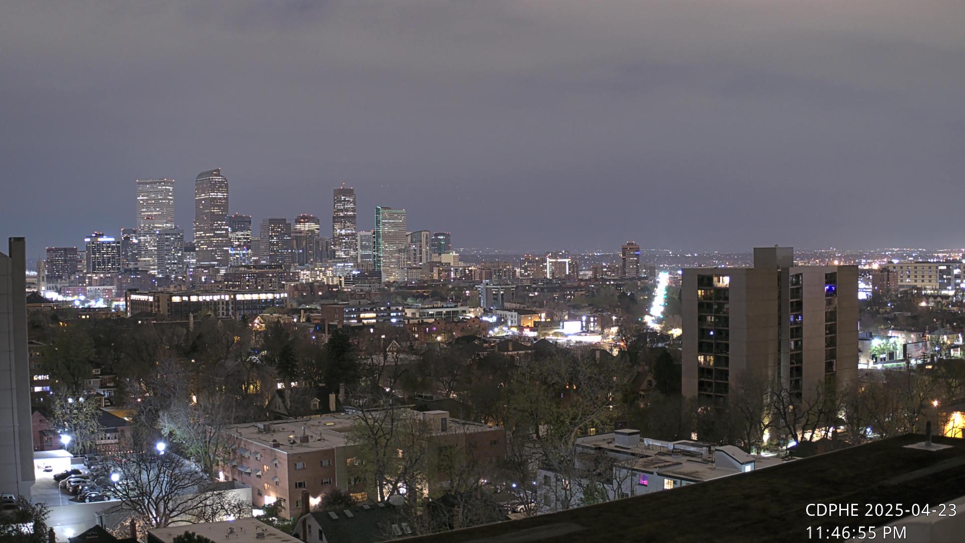
Their rainfall is expected to change to snow around midnight, and by morning rush, travels there will be a big mess! Now here are the webcams to track the flakes:


Should be fun to track late tonight and all of tomorrow! Thanks for checking the blog, have a great evening!
No comments:
Post a Comment