1) The rain chances:
So far today, we have seen just some pesky drizzle, along with low clouds and chilly temps. However, this will change tomorrow as heavy rains pour into the area, and continue all day tomorrow. Here is the latest timing and amounts:
Tomorrow morning:

Rain moves in.
Tuesday afternoon:

Heavy, steady downpours, storms southeast.
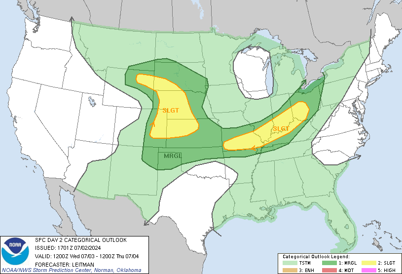
While most of the state shouldn't see the severe storms, areas of far southeastern Indiana will have the chance of some tomorrow afternoon, as temps soar into the 70's down there.

The southern half of the state has also been highlighted in the excessive rainfall possibility. This means you need to watch for nearby creeks, streams over-running their banks, along with low-land flooding risk.

When all is said and done early Wednesday, expect a good 1.50-2" in the Indy metro, with as much as 3" in southern Indiana, where the ground is already water-logged!

2) Gorgeous stretch for Travel Day, Turkey Day, and Black Friday:
Clouds and rain early Wednesday will give way to lots of sunshine and mild temps for Wednesday afternoon. That is great news for all those travelers! Here is the travel Wednesday forecast for the U.S:
Lots of sunshine for Thanksgiving and Black Friday, with unseasonably warm temps! Temps will flirt with 60!! Make some outdoor plans for sure!
3) Big changes this weekend and beyond:
Despite a gorgeous first half of the Holiday weekend, big-time changes roll in this weekend. On Saturday, we will see warm temps, along with the chance of severe weather and heavy rain by the afternoon. By Sunday, the low begins to shift east, and temps will plummet with more rain around!
That is an interesting set-up, and one that could switch the rain over to snow Sunday night.
It gets even more interesting early next week, with the low slowly moving over the area, with cold air funneling in. Notice on the map above, how far south the cold air penetrates early next week! We are likely to see some snowfall on Monday, with yes, some light accumulation being possible. Here is a look at this on the GFS model:
Monday November 28:

This is a type of set-up that would allow us to see our first measurable snow! Keep in mind that this is still a week out, so expect changes in that forecast over the next few days, just highlighting that we could get perhaps our first real snowfall.
For more weather updates, be sure to "like" my weather page!
http://www.facebook.com/#!/Nathanlovesweather4
Have a great evening, and stay tuned!


No comments:
Post a Comment