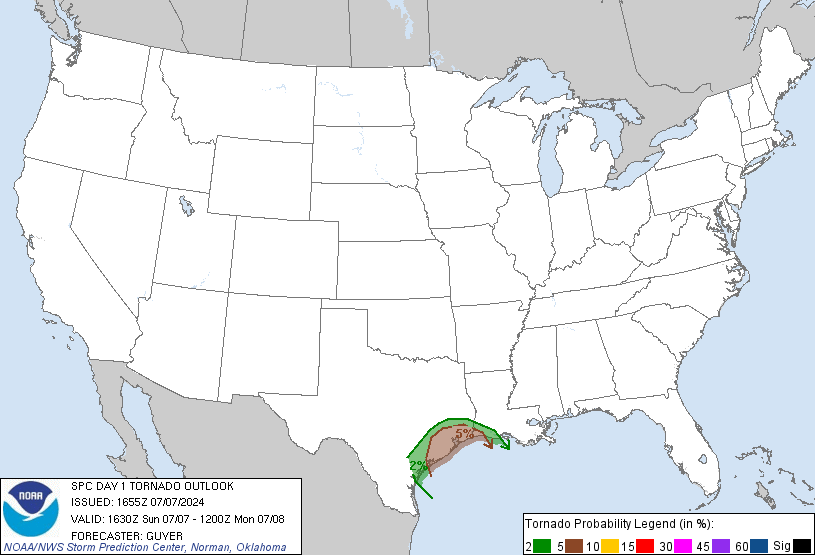
In addition, the SPC has expanded the 5% tornado risk all the way into northern Indiana:

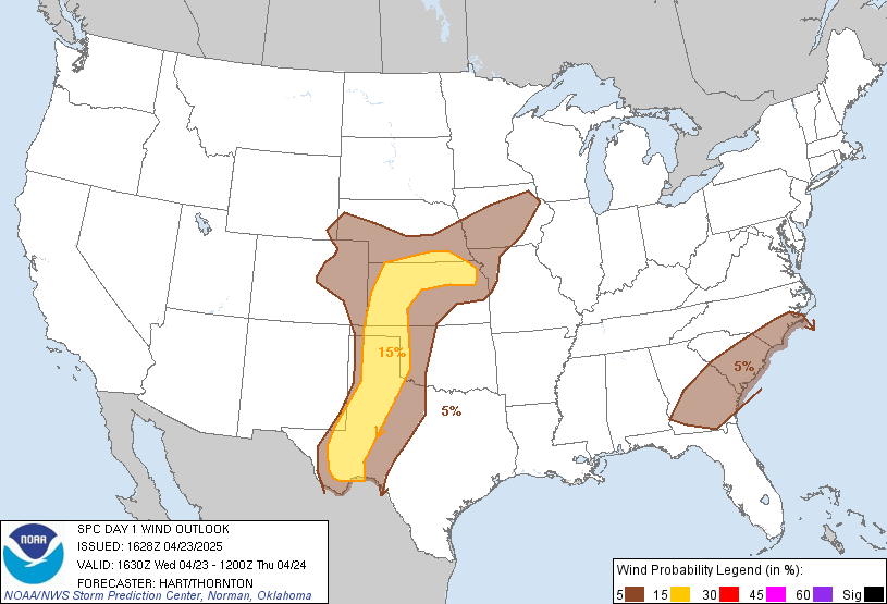
The biggest threat still appears the be damaging winds along the squall line tonight:

Timing: Isolated showers/storms (a few strong) are possible after 7pm. The main squall line should move in between midnight-3am.
Facebook: If you haven't yet, be sure to "like" my facebook page, for the latest warnings/alerts:
http://www.facebook.com/Nathanlovesweather4
Twitter: I will also be updating my twitter with the latest warnings as well! Be sure to follow me on twitter:
https://twitter.com/Nathanweather17
Also, don't forget about the radars tab at the top of the page! That is a great resource to track the storms tonight! Updates as needed. Have a great evening!

No comments:
Post a Comment