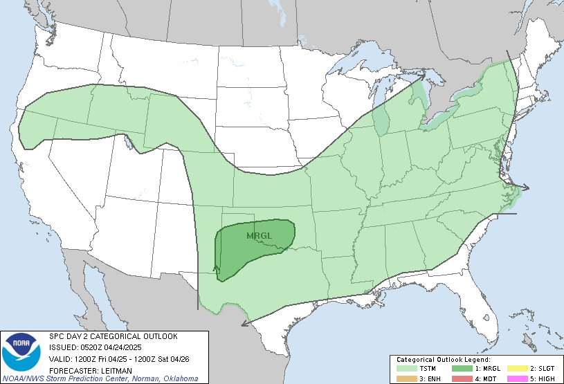
Tomorrow will be the last warm day as highs hit 70 along with some showers and storms. Severe storms are very possible tomorrow afternoon for southeast Indiana and Kentucky:

A MAJOR pattern change will take hold starting Thursday and likely continuing through early April. The weather this weekend looks nasty with a mix possible on Saturday. Sunday should be mainly dry and cold before the next system moves in. This system is going to take a track that could produce a wintry mix in central Indiana, possibly light accumulating snow north? This is absolutely absurd for early spring! Here are the models for early next week....

Look at that arctic air! Probably only in the 30s for highs by next Monday, with a gradual warm-up through our spring break. There is some good news though... you may recall me saying a few weeks ago that there has been a lot of cold air locked up in Canada. What needs to happen is for all the cold air to get sweeped out of Canada before TRUE spring can begin. This pattern will likely take out most of the cold in Canada and I think once we pass early April, our "true" spring can begin. But this pattern is definately not a good one for spring break! On the map below for next Tuesday, notice the well below average temperatures for us and the above average temperatures for Canada.........

That is all for today! Have a great Tuesday, and check back later for more updates!

No comments:
Post a Comment