Now lets talk snow! A system is brewing to our west, and has prompted winter storm warnings and winter weather advisories over much of the Plains. This same system will affect Indiana.
HPC has the 4" potential from central Illinois and westward for this event.
This system should dump 2-4" of snow over Illinois and westward, but weaken slightly as it hits Indiana. This where the difficult forecast sets in. If this storm were to remain stronger longer than thought, we would be dealing with a decent snowfall. I still think this storm will bring the highest snow accumulation of the season for many areas! :) Again, that does NOT mean a major snowstorm by any means!
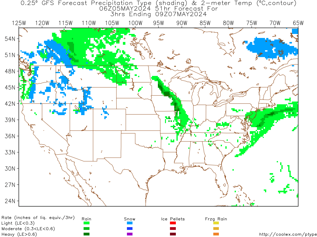
Now it's all about the timing. Flurries are likely by tomorrow evening's rush hour, then a quick change to steady snow Monday night. Notice that the GFS shows a steady snow falling all night Monday night:

What does Nate think?? In this type of set-up, we have very cold air over the area now. This will be a big help to get the snow to stick Monday night. Temperatures Monday night look to hover around 28-30 degrees, making for a perfect snow temperature. If you have plans after 7pm tomorrow, snow will be falling, and roads may slicken up quickly. This will also mean a very interesting drive into work Tuesday morning, as snow will still be falling. How much snow? I expect a general 1-3" area wide, with 1" possible in extreme southern Indiana. The NAM model also agrees with my thoughts:

The snow we do get won't last long, as warmer temps will arrive mid-week. So here is hoping we get a nice little snowfall tomorrow night! Have a great rest of your Sunday.

No comments:
Post a Comment