I must admit - your weather dude has caught a serious case of spring fever this week. :) I am officially loving the warm weather, and honestly, I hope the pattern stays warm as we position into spring. BUT - latest model trends are looking more favorable for a real change to winter this month.
While winter has been non-existent across much of the lower 48, it has been BRUTAL in parts of the world, particularly in Europe, where over 200 are dead. Part of that is due to a sudden pattern change there. It was warm all winter, then suddenly, it got brutally cold, way below zero. Parts of northern Africa even saw rare snow flakes this week! So yeah, it's one wacky pattern across the world!
So what do I think lies ahead of us for the next several weeks? I will explain in a moment. But first, let's talk about our forecast over the short-term, which includes the rainfall chances.
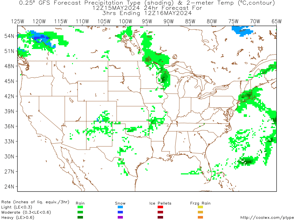
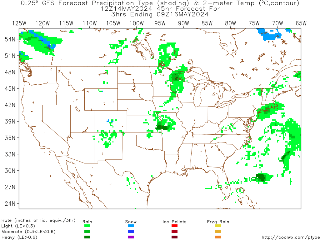
Rain will arrive in Indy between 10pm-12am, and will continue off/on tomorrow. It will be a yucky and chilly day! The good news is that the rain will taper off late in the day from Indy northward.

As the precipitation comes to an end Sunday morning, a period of snow showers or a light wintry mix is possible. This is NOT expected to pose any travel concerns, perhaps some slick spots north of Indy Sunday morning.

Rain totals look to be up to 1/2" in Indy by Sunday morning, with up to 3/4" of rain possible in southern Indiana.

We will dry out Sunday afternoon, with late day sunshine expected for Super Bowl Sunday. Highs will be in the middle/upper 40's through the weekend.
Much of next week is looking very quiet and seasonal, with sunshine around, and temps mainly in the 40's. This may change by Friday of next week.
The European model is now going BONKERS with the very cold air starting a week from today, and lasting through the weekend. Check out that cold look on the model by next Friday:
That model has the makings of a TRUE change to winter, with a trough in the east, and a ridge out west, by next weekend. I know the models can certainly change ideas quick, so it will be important to "trend" the forecast as we get closer.
Another interesting solution is that all models show a storm somewhere in the eastern U.S. during the same time. I know I said the same thing a week ago for this weekend, but that snowstorm ended up hitting Denver, CO. With a negative NAO setting up, that could lead to an interesting forecast for us about a week from now.
The European model is definately an eyebrow raiser to me, and considering what happened in Europe this week, certainly can't rule out a pattern change to colder locally. One thing that worries me is that if indeed a colder pattern does commence, it may last into spring this year. Looking beyond the cold snap next weekend, it looks like an up/down pattern, with more frequent shots of cold air.
So for all the naysayers out there, a pattern change COULD be coming in about a week. I know the models may have a much warmer solution by tomorrow, but I think things are lining up for some colder weather. For now, let's take it one week at a time. Have a great evening, and thanks for checking out the blog!


No comments:
Post a Comment